All products Road Designer
Road Designer
available · open it and run the bundled exampleSee the product page for access and evaluation requirements.
Turn alignment and terrain inputs into road drawings, earthworks calculations and downloadable DXF, XLSX and PDF files.
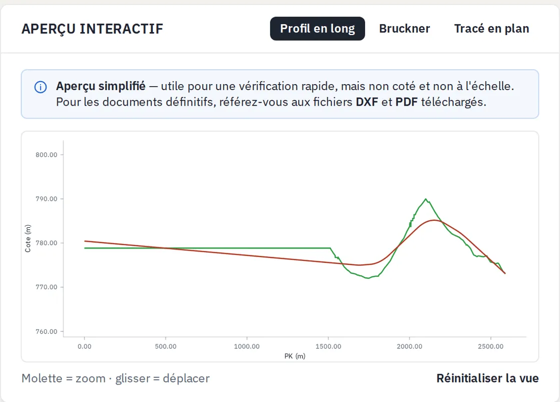
Road Designer produces vertical profiles, earthworks calculations and drawing outputs from alignment and terrain inputs. It reports implemented REFT checks for engineering review. The interface and drawing annotations are in French.
What it does
- Vertical profile optimization with REFT minima checked and any breach reported explicitly
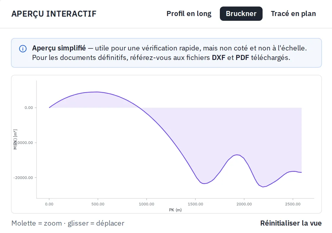
- Earthworks volumes and a Brückner mass-haul diagram computed from the terrain model
- Four deliverables per run: DXF, XLSX, PDF plan sheet and PDF cross-sections
Interoperability
What this product reads and writes, and where each format stands.
| DXF | writes | implemented | plan sheets and cross-sections |
|---|---|---|---|
| Excel (XLSX) | writes | implemented | REFT earthworks workbook |
| writes | implemented | title-blocked plan and cross-section sheets | |
| TXT / CSV | reads | implemented | alignment file and terrain point cloud |
| LandXML | reads + writes | planned |
Technical details
-
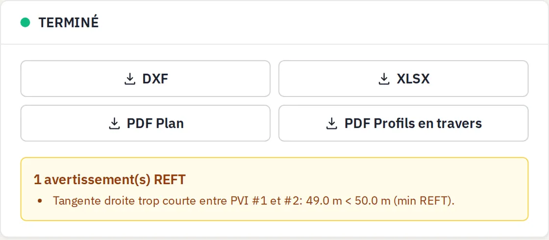
Reported rule checks — The bundled sample reports a 49.0 m tangent against the implemented 50.0 m minimum. The output identifies the measured value, threshold and location for review.
implemented -
Drawings and calculation outputs — Successful sample runs produce DXF drawings, an XLSX earthworks workbook, a PDF plan sheet and PDF cross-sections. Drawing title blocks use the project information entered in the application.
implemented -
Road design inputs — Inputs include the road category, carriageway width, sampling interval and vertical-profile constraints.
implemented -
Evaluate with the sample — A sample alignment and terrain dataset are available to evaluate the workflow before preparing project data.
implemented
Limitations
Current limitations and evaluation requirements.
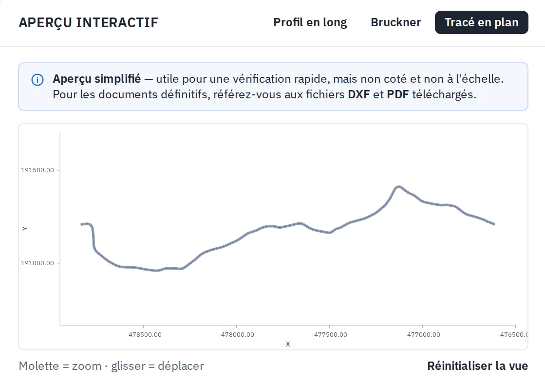
- Preview drawings are not dimensioned or to scale. Use the exported DXF and PDF files for detailed review.
- Drawings export as DXF; native DWG export is not available.
- The interface is in French. Engineering outputs require review against the project requirements and applicable standards.
- Source code is available under the Beamstack Community License. Consult the licence for permitted uses and conditions.